
Transnational Internet Map Information System on Flooding
The project «TIMIS flood» provides extensive flood protection for Luxembourg, the German federal state Rhineland-Palatinate as well as for the French regions Alsace and Lorraine.
The project «TIMIS flood» provides the foundation for an extensive flood protection for Luxembourg, the German federal state Rhineland-Palatinate as well as for the French regions Alsace and Lorraine. In particular, «TIMIS flood» produces
- hazard maps for approx. 100 rivers (approx. 3000 km length)
- risk maps for selected test sites
- a transnational observational network for water gauges and run-off
- a transnational system for flood forecast
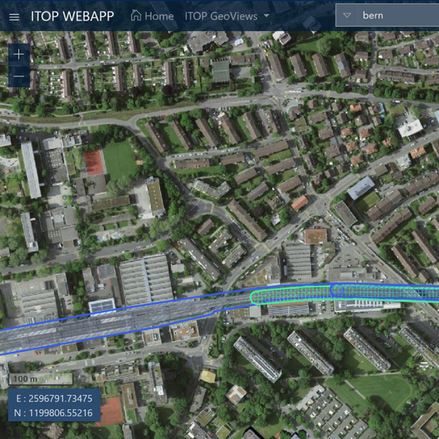
- a transnational GIS on flooding
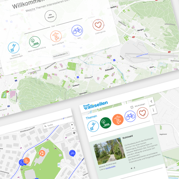
- internet-based services on flooding
EBP is the prime contractor. Together with the German Hydrotec GmbH (Aachen) and other subcontractors the following services are carried out:
- acquisition of the data basis (i.e., surveying of cross-sections, airborne LiDAR scanning, transnational mosaic of ortho-rectified aerial photographs)
- derivation of run-offs for ten specified flood events
- determination of water gauges using hydraulic modelling
- coordination of forecasting and warning activities
- provision of a user guide and training of the staff of the contractors in terms of an extended quality management
- project communication
By mid of 2008, all internet-based services by «TIMIS flood» will be online and are targeted to the public, the authorities and the research community. The project is co-funded by the INTERREG IIIB NWE programme.


