Feasibility of the "Fil Bleu Glatt" project to demarcate and develop the Glatt watercourse corridor
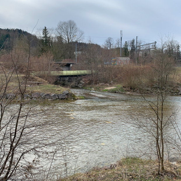
The "Fil Bleu Glatt" is the name of a cross-regional plan to enhance the quality of the recreational space along the Glatt River in Dübendorf, Zurich, Wallisellen and Opfikon and to make it more accessible for pedestrians and cyclists. EBP has been commissioned to carry out a study to determine the feasibility of installing a path along the Glatt River whilst at the same time demarcating its riparian zone, and to work out solutions that would take account of the interests of the various stakeholders.
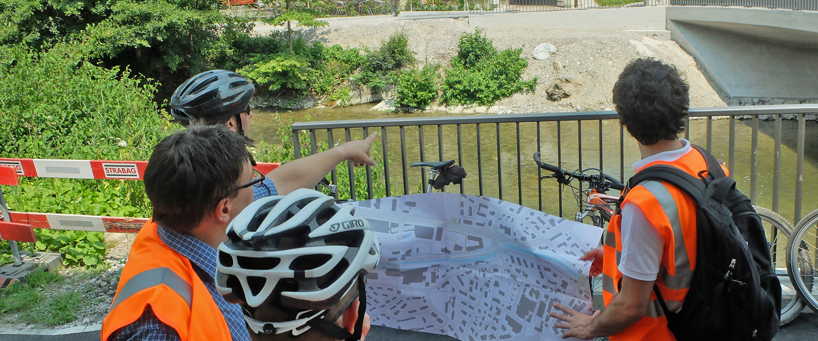
The planning of a continuous, 10-kilometer pedestrian-bicycle path along the Glatt River whilst at the same time demarcating the river’s riparian zone represents a challenging task. In several sections of the river, successful implementation of a pedestrian- and bike-friendly path along the river is at odds with the requirements of an unspoiled riverbank.
Riparian zone
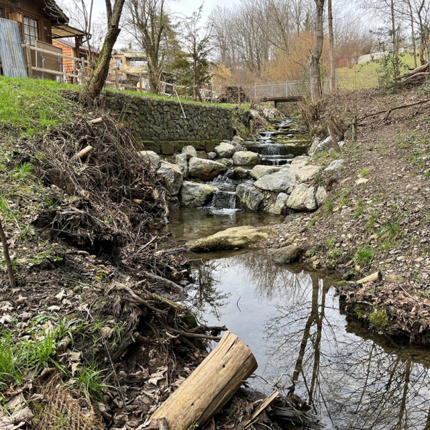
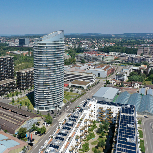
The riparian zone is the protective space along a shore or riverbank that a body of water needs to carry out its natural functions. The riparian zone also plays an essential role in safeguarding against flooding. In the context of the project known as "Fil Bleu Glatt", we are working on the guiding principles for demarcating the watercourse corridor for a ten-kilometer stretch of the Glatt River. Our work also represents a kind of pilot project for the planned demarcation of riparian zones along other large bodies of water in the canton of Zurich. The section of the Glatt River in question is essentially urban territory, i.e. with its proximity to Dübendorf, Zurich, Wallisellen and Opfikon. In light of the rapid development of the area, there are significant competing demands among the various stakeholders in terms of the riparian zone to be demarcated.
Glatt riverbank path for pedestrians and cyclists
A continuous path along the Glatt between Dübendorf and Opfikon is currently in the planning. This four-meter-wide paved path is a key element of the "Fil Bleu Glatt" recreational-space plan, with the idea being to create an attractive route for pedestrian and bicycle traffic.
Balancing competing interests
The comprehensive EBP options appraisal on the demarcation of the riparian zone and the creation of the Glatt riverbank path identifies a number of solutions that take account of the various interests involved. In addition to this, we are also moderating the decision-making process in a manner that enables the participation of the relevant stakeholders. The essential task is to weigh up the competing demands for an unspoiled riparian zone, an attractive, bike-and-pedestrian path that is as close as possible to the river, and the best route for the riverbank path from an engineering perspective.
Improving the quality of recreational space
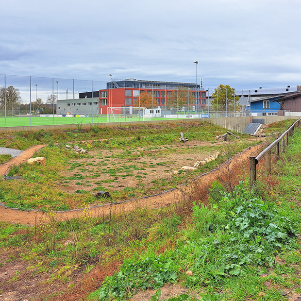
The Glatt Valley is one of the most attractive business locations in the canton. Continuous settlement and traffic development puts pressure on available greenways as a result of their increased use as recreational spaces. So far, little has been done to exploit the potential of the Glatt River to serve as a recreational area. The aim of the "Fil Bleu Glatt" project is to improve access to and the quality of the space along the river for recreational purposes. Doing so would provide the rapidly-developing region with a local recreational area that would help to consolidate the region’s unique identity.


