
GIS for operations control
Operations control systems are increasingly becoming indispensable aids. EBP has further developed and designed the interactive functions of the underlying geographical information systems for two clients.
HP, Public Safety, the leading provider of operations control systems in Switzerland, wanted to renew and expand its geographical information subsystem. At the same time, the Office for Spatial Development, Economic Promotion and Geoinformation (RAWI) was planning a new generation of operations control systems for the police in Lucerne and the Lucerne cantonal hospital.
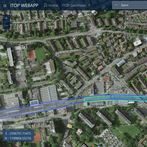
In the capacity of ESRI business partner, EBP developed a new GI subsystem for these organisations. Previously, the GIS served as a visualisation aid to display resources and the location of incidents. As a new feature, the operations control system can work interactively with the map, for example allocating resources to an operation. The GIS supports the three operations control systems AVANTI, PELIX and ELS2.
Our services included:
- A description of typical application cases, working together with the clients
- Drawing up the specifications
- Implementation of the GIS subsystems and interfaces with operations control systems
- Support during the integration of the GI subsystem in the operations control systems
- Commissioning
- Training of GIS administrators


