
Pilot study regarding municipal geodata display services in spatial planning
Various geodata display services that can be used to facilitate spatial planning are available in the canton of Graubünden. EBP has examined the structure, operation and use of these municipal services in the interest of identifying optimal approaches for supporting planning tasks.
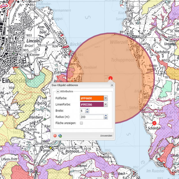
Spatial planning or land-use planning is used to regulate the use and structural development of land by landowners. In order to ensure that the information that is used for regulatory purposes is available online for public examination, the Swiss Geoinformation Act makes provision for the establishment of geodata display services that visualise the spatial planning data comprehensively and as similarly to the official paper maps as possible. In Graubünden, there are various municipal services as well as an aggregated (and simplified) cantonal display service for spatial planning data.
Working on behalf of the Graubünden Spatial Planning Office, EBP has examined the following issues in the framework of a pilot study:
- What structure and mode of operation of display services are to be preferred in the future when it comes to the official auditing, revision and legal approval of spatial planning data?
- Would a centralised or decentralised structure be more appropriate for operating such services given the circumstances?
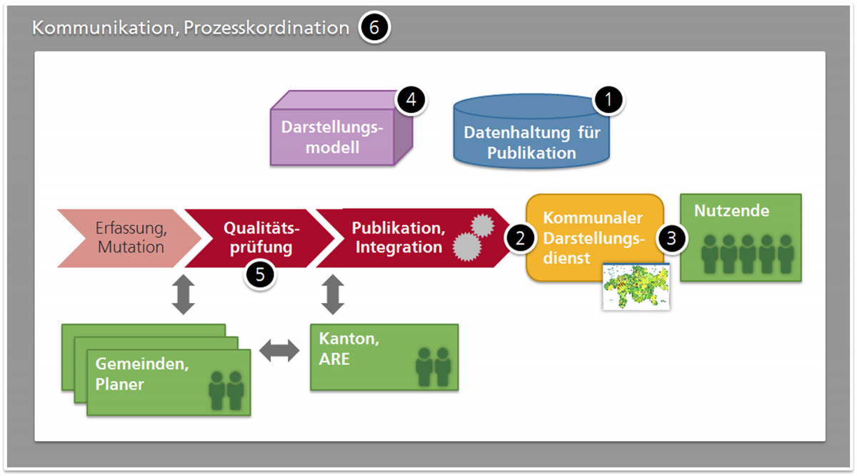
EBP used a series of interviews with various stakeholders in the Canton of Graubünden and the experiences of other cantons as a basis for evaluating the current situation. In addition to this, we examined six subtasks for implementing municipal geodata display services in order to work out various potential solutions and assessed these solutions from organisational, financial, qualitative and strategic standpoints to arrive at a recommendation for future action.
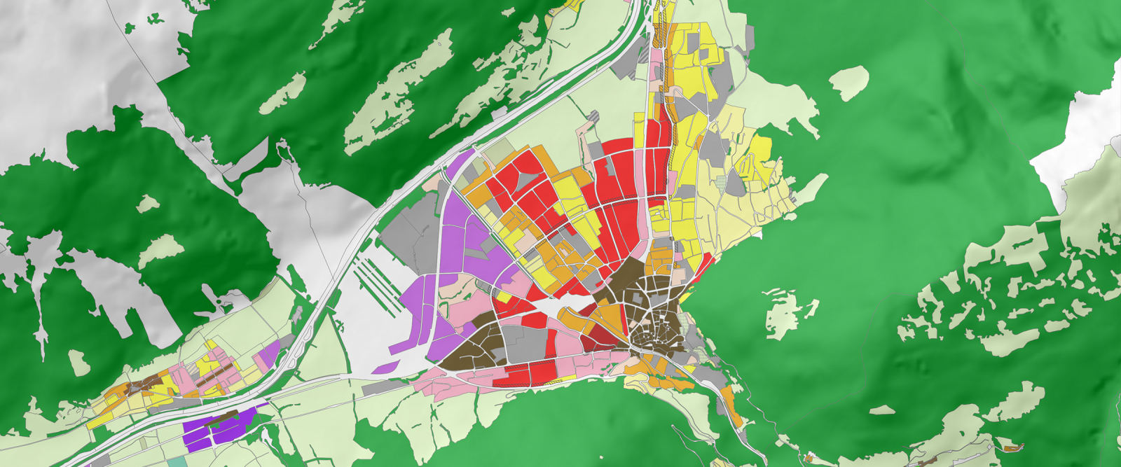
Picture Credits: Zonenplan Grundnutzung Gemeinde Chur, © Kantonale Verwaltung Graubünden, GIS-Kompetenzzentrum, http://geogr.mapserver.ch/viewer/geogr


