Project
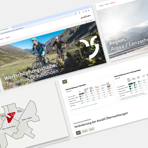
Study and Web Report on the Added Value of Tourism in Graubünden
Year
Country
CH

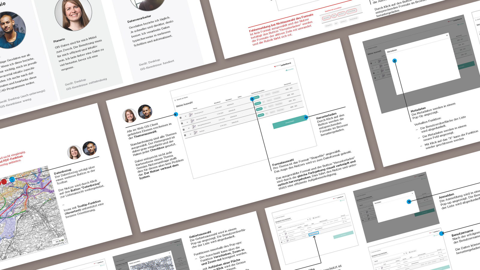
The canton of Solothurn operates a geoportal to give users from various fields access to geodata. In practice, many users were experiencing difficulties getting to grips with the geoportal’s download function. After being commissioned by the canton, our UX team succeeded in simplifying the download process, identifying unnecessary information, integrating new data formats, creating a navigational overview, and offering appropriate points of entry for different target groups. While working on the project, we placed great value on navigational clarity via icons, maps, tables, and precise function names. Thanks to our user-centered optimization, the various user groups are now able to quickly access the data they need.