Web app and landing page to enable flood risk assessments
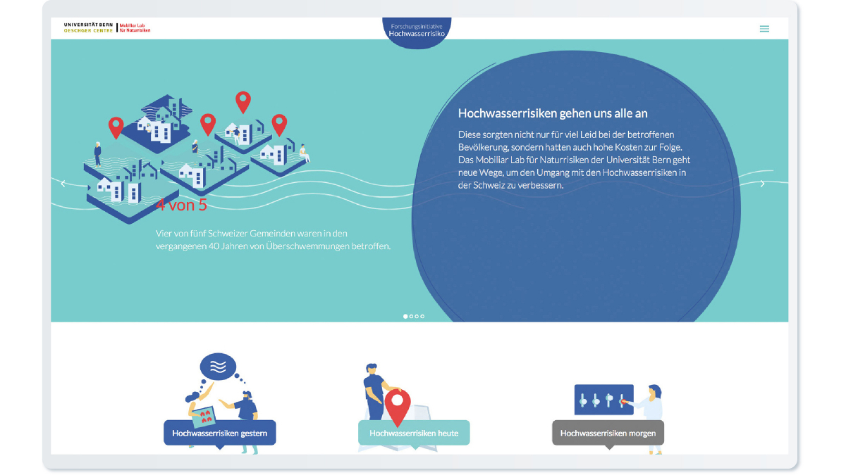
Flood risks concern us all. That is why the Mobiliar Lab for Natural Risks at the University of Bern launched an initiative known as the “Flood Risk Research-to-Action Initiative”. Working on behalf of the initiative’s organizers, EBP created a landing page and a map-based web application that enables intuitive assessments of flood risks.
Flooding accounts for more than two-thirds of the total damage caused by natural hazards during the last years. That is why the organizers of the Flood Risk Research Initiative decided to help raise people’s awareness of flood risks. The aim of the initiative is to establish a knowledge base for agency representatives, experts and the general public so that they can make informed decisions in the area of flood management.
Potential damage at a glance
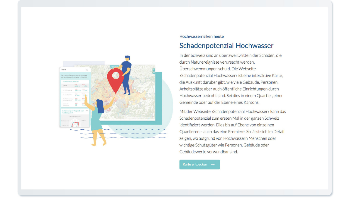
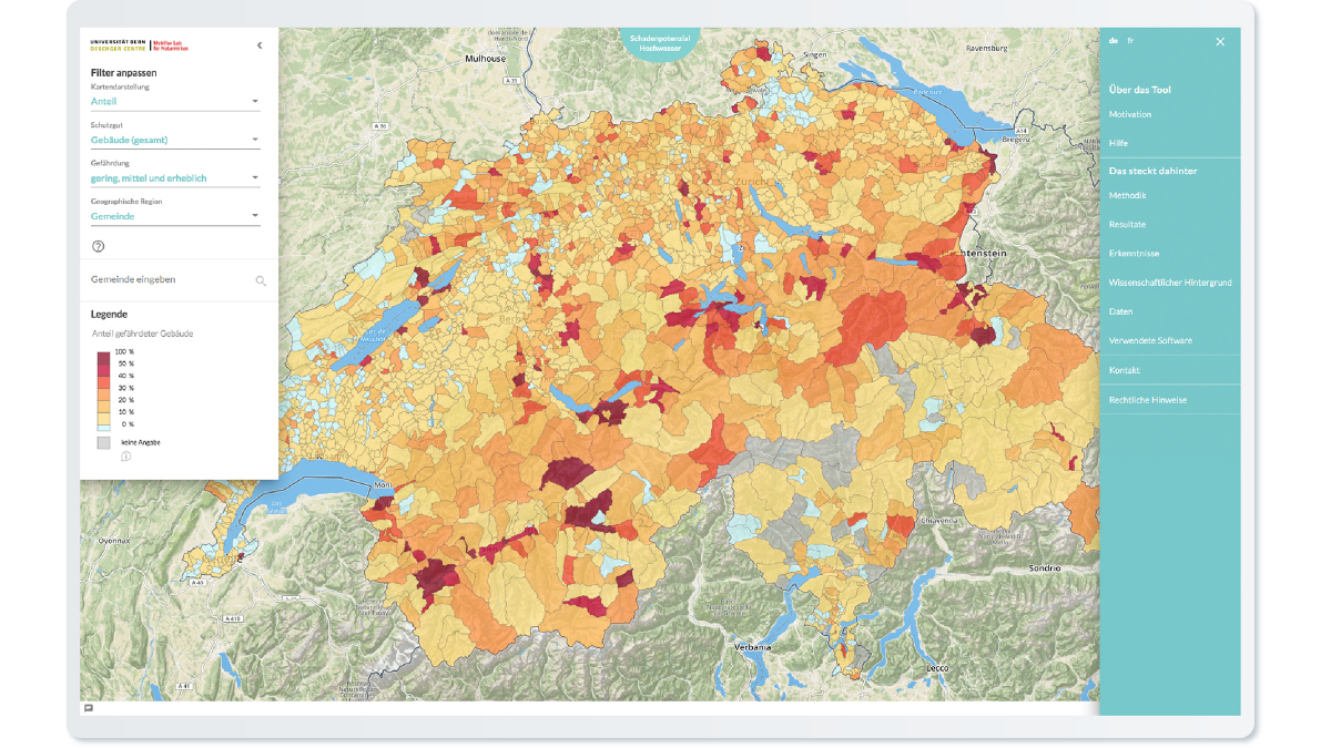
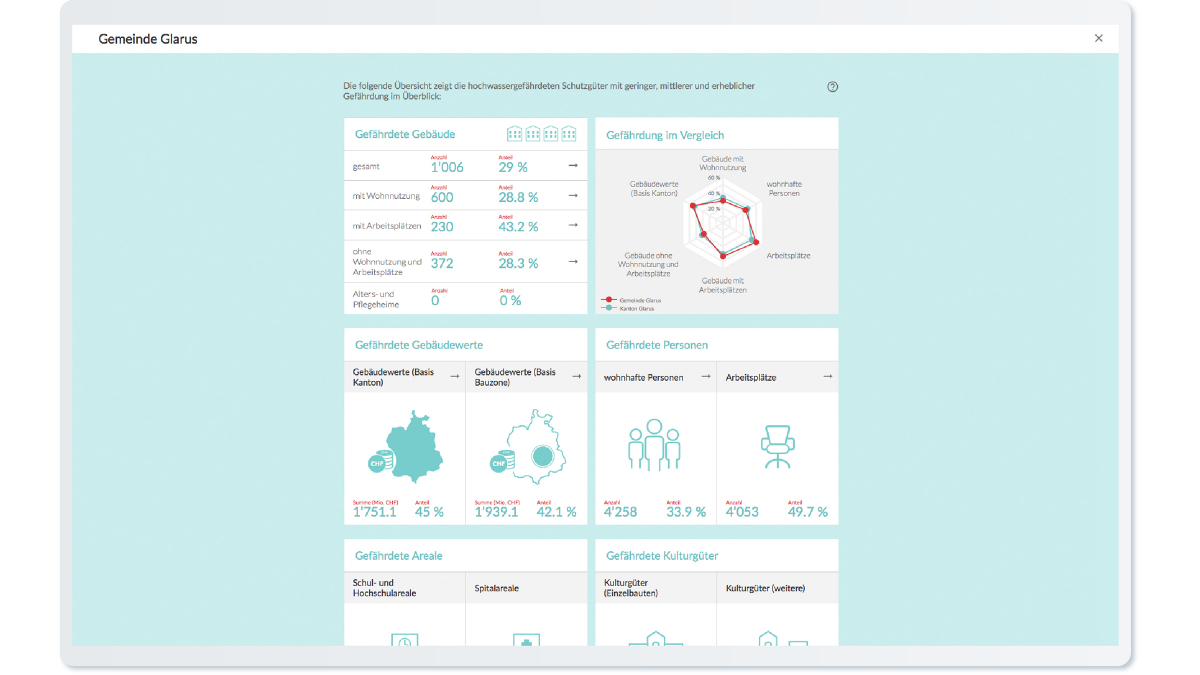
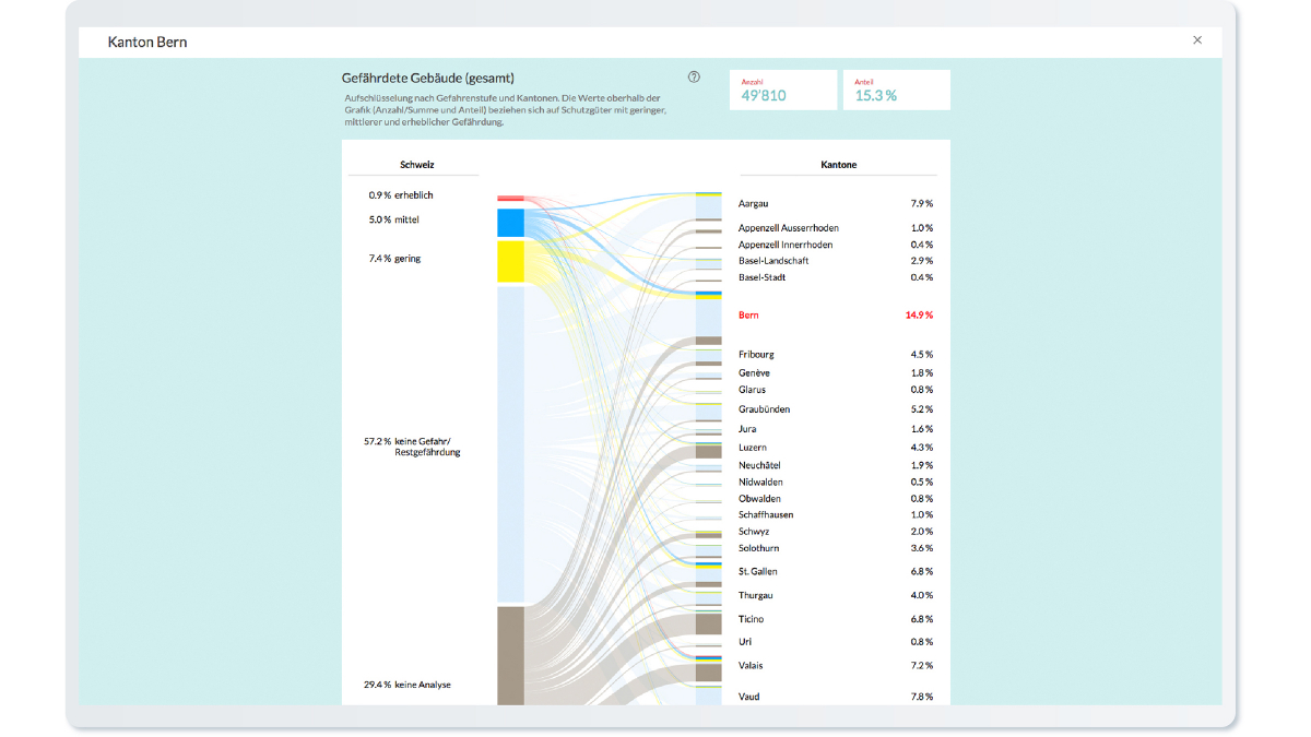
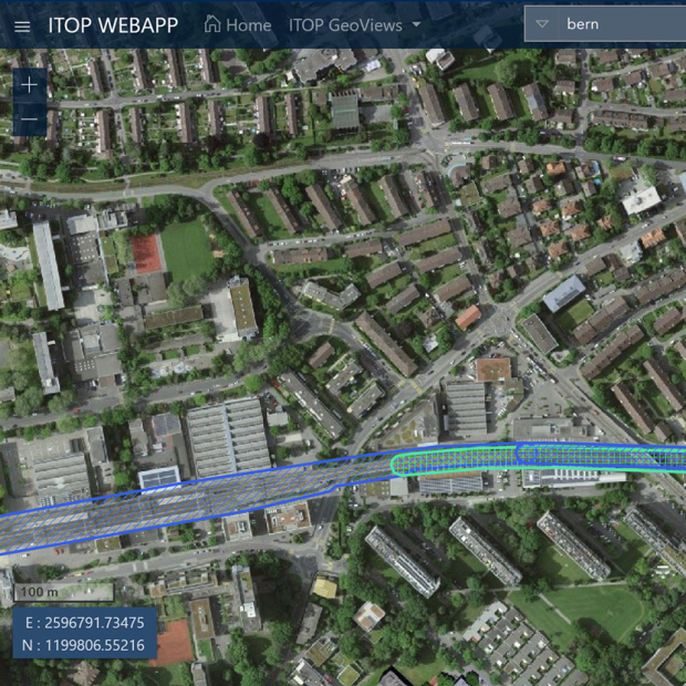
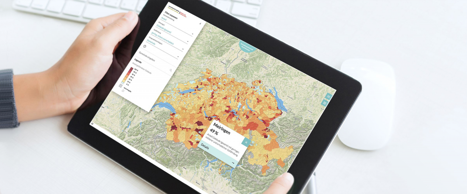
EBP created the “Flood Damage Potential” web application to help make the risks associated with flooding more intuitive. Featuring interactive data visualization tools, the application’s map illustrates the potential damage associated with flooding throughout Switzerland at cantonal, municipal, city, and district levels. The app provides agency representatives, experts and the general public with information about specific areas that are susceptible to flooding as well as specific measures that could be implemented to protect life and mitigate property damage.
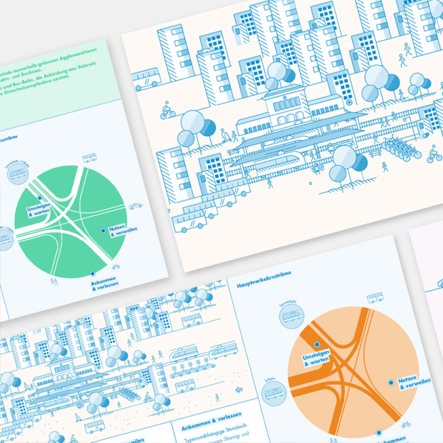
The map’s smart graphic detail view enables the app’s users to assess, at a glance, the risks to persons, buildings, jobs and public services that are associated with flooding. Appealing illustrations encourage users to learn more about the subject of flood risk, and infographics help users to gain a quick understanding of complex issues.
An inviting look & feel and convenient orientation
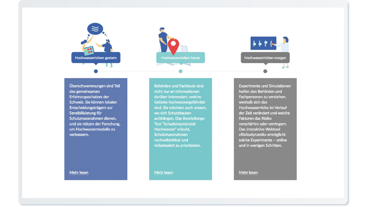
All inquiries begin at the www.hochwasserrisiko.ch landing page. This gives users a convenient point of access to the resources made available in the context of the research initiative.
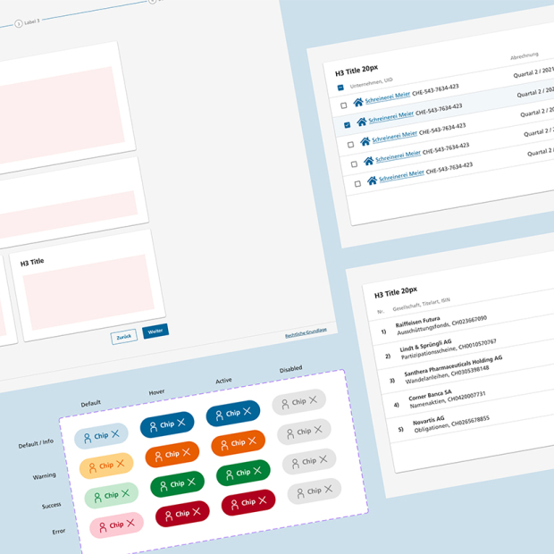
While developing the landing page and the Flood Damage Potential web application, EBP deployed a user interface (UI) and user-experience (UX) features that were calibrated to the relevant target groups to help ensure a favorable and informative first encounter. The aim here was to enable convenient orientation despite the high level of detail and to encourage users to linger on the website.
Comprehensive single-provider services: design, development and operation
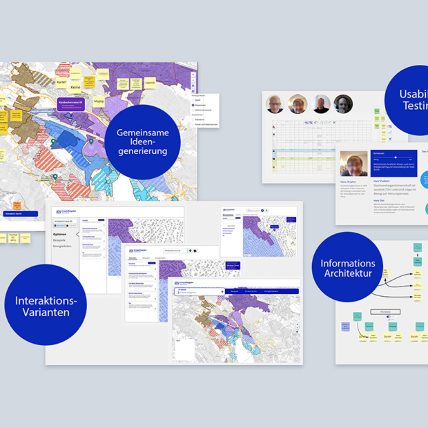
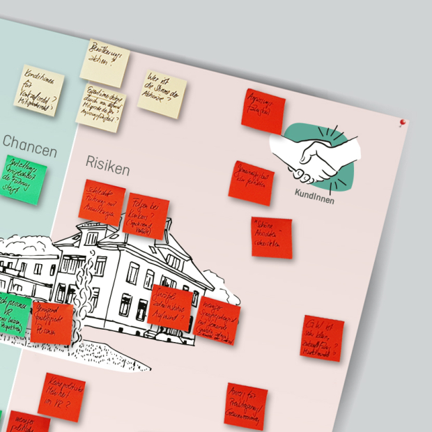
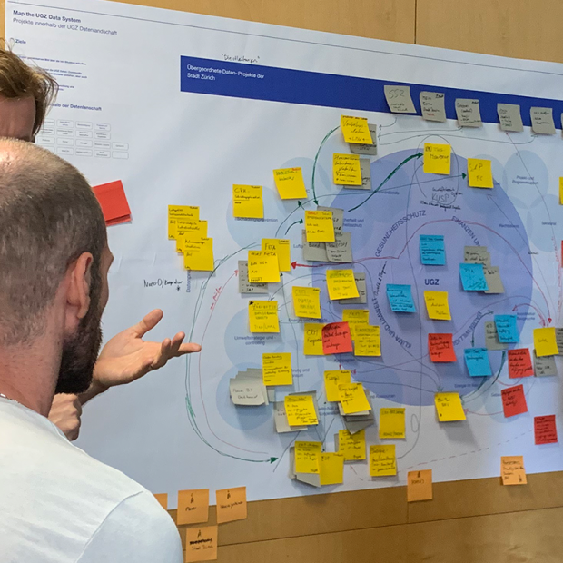
EBP developed the basic concept for the Flood Damage Potential web application at a co-creation workshop with Mobiliar Lab specialists, cartography experts and software developers.
In addition to the UX/UI concept, EBP was responsible for developing the software for the Flood Damage Potential app and the landing page. We used Angular and OpenLayers for the map-based web application. The data visualization tools are based on D3.js and Vis.js. In the context of website operation, EBP is responsible for hosting and support.
