Project

Spatial Development Plan for the Municipality of Bitsch

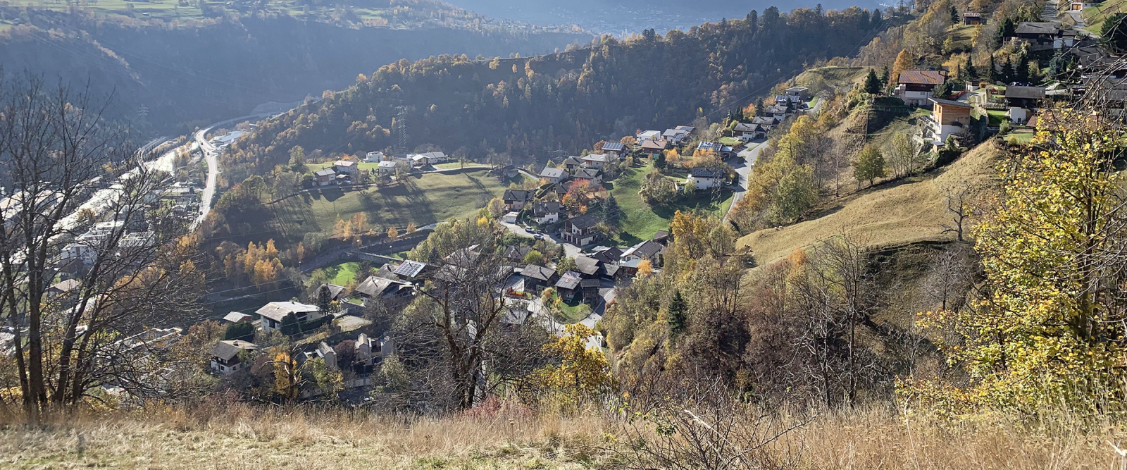
The Swiss municipality of Bitsch stretches from the floor of the Rhone Valley to the alpine village of Oberried at 6,600 feet. We helped the municipality draft a master spatial development plan (SDP) that takes account of the region’s typical landscapes, protection of townscapes and traffic accessibility. Forming the basis for the revision of the land use plan, the SDP ranges from urban inner development on the valley floor to the embedding of residential buildings on the slope and the careful handling of Oberried.
Our services

  • Preparing a brief analysis
  • Defining strategic goals and recommendations relating to building structure and quality, settlement development, townscape protection, landscape and open space quality as well as traffic accessibility and quality
  • Developing concrete development options for the municipality’s six districts
  • Creating a detailed urban development plan for the municipality’s for the municipality's distric on the valley floor district
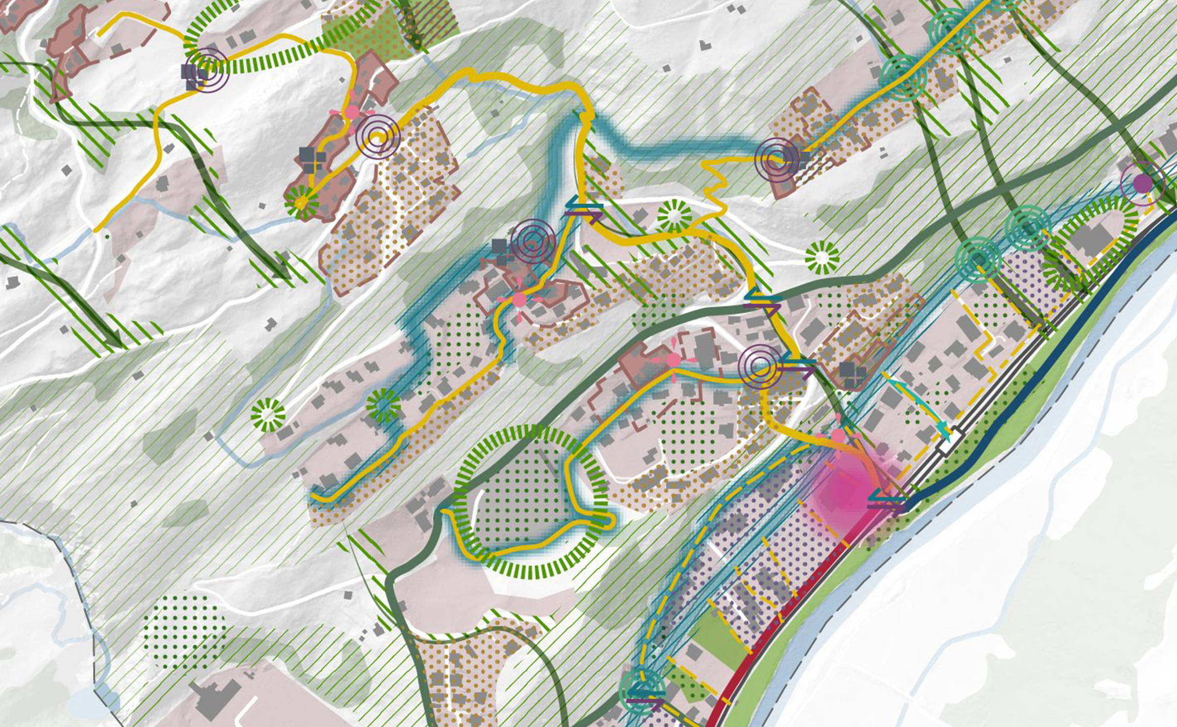
  • Developing thematic maps and a synthesis map
  • Supporting and advising throughout the SDP process
Ausschnitt aus dem Hauptplan
Extract from the synthesis map of the Bitsch spatial development plan

Picture Credits: © EBP

Contact persons