Revision of natural hazard maps for the Canton of Schaffhausen
The natural hazard maps for all 26 municipalities in the Canton of Schaffhausen have recently been revised due to protection measures on one hand and new infrastructure, residential and industrial areas.The revised maps will be used as reliable planning instruments to the municipalities and the canton.
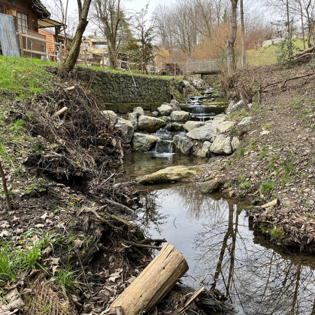
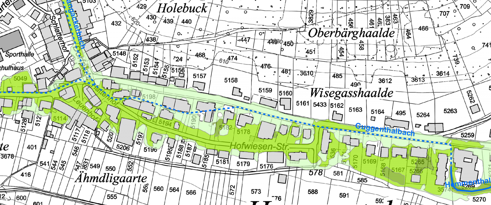
EBP has been mandated by the Civil Engineering Department of the Canton of Schaffhausen, to revise the natural hazard maps of all 26 municipalities in the canton. Existing hazard zones for flooding, landslides and rockslides have systematically been re-assessed, where needed. Hydraulic 1D/2D models have been applied, and revised hazard zones have been verified on site.
The hazard maps were revised in close consultation with the Civil Engineering Department. In order to raise public awareness and acceptance for the hazard maps, two workshops with all the municipalities were conducted.
The project outcomes include a methodology report, 26 individual municipality reports and numerous maps 1:5’000, including hazard zones, intensities and protection deficits.. The revised hazard maps will be available on the GIS browser of the Canton of Schaffhausen for public review by mid 2017.
We jointly worked on this project with the companies Niederer + Pozzi Umwelt AG and Dr. von Moos AG.

