
Importing Survey Data into the Cantonal Geodata Infrastructure using FME
Working on behalf of the Canton of Schwyz, EBP developed an automated workflow for importing survey data in the INTERLIS format into the cantonal geodata infrastructure of the Cadastral Surveying Agency.
In Schwyz, the geodata of the Cadastral Surveying Agency are drawn together from the various municipalities in the canton. In order to facilitate the task of gathering and compiling the data, EBP has developed a workflow in Safe Software FME that enables the automated import of such data.
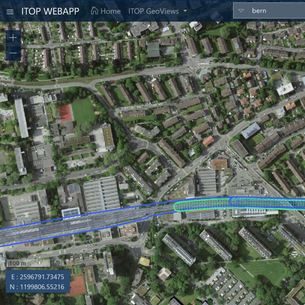
The survey data, which are available in INTERLIS format, can therefore be imported into the cantonal geodatabases (ORACLE and PostGIS) at the press of a button. From these geodatabases the Canton of Schwyz publishes the relevant data on the cantonal WebGIS and supports its use by both authorities and the public.


